We are committed to providing exceptional customer service from start to finish. Whether you need high quality aerial imagery or a complete 3D model, we're here to help. Looking for a service not listed? Contact us! We're always happy to discuss custom solutions for your project.
Your Central Florida Data Provider
What We Do
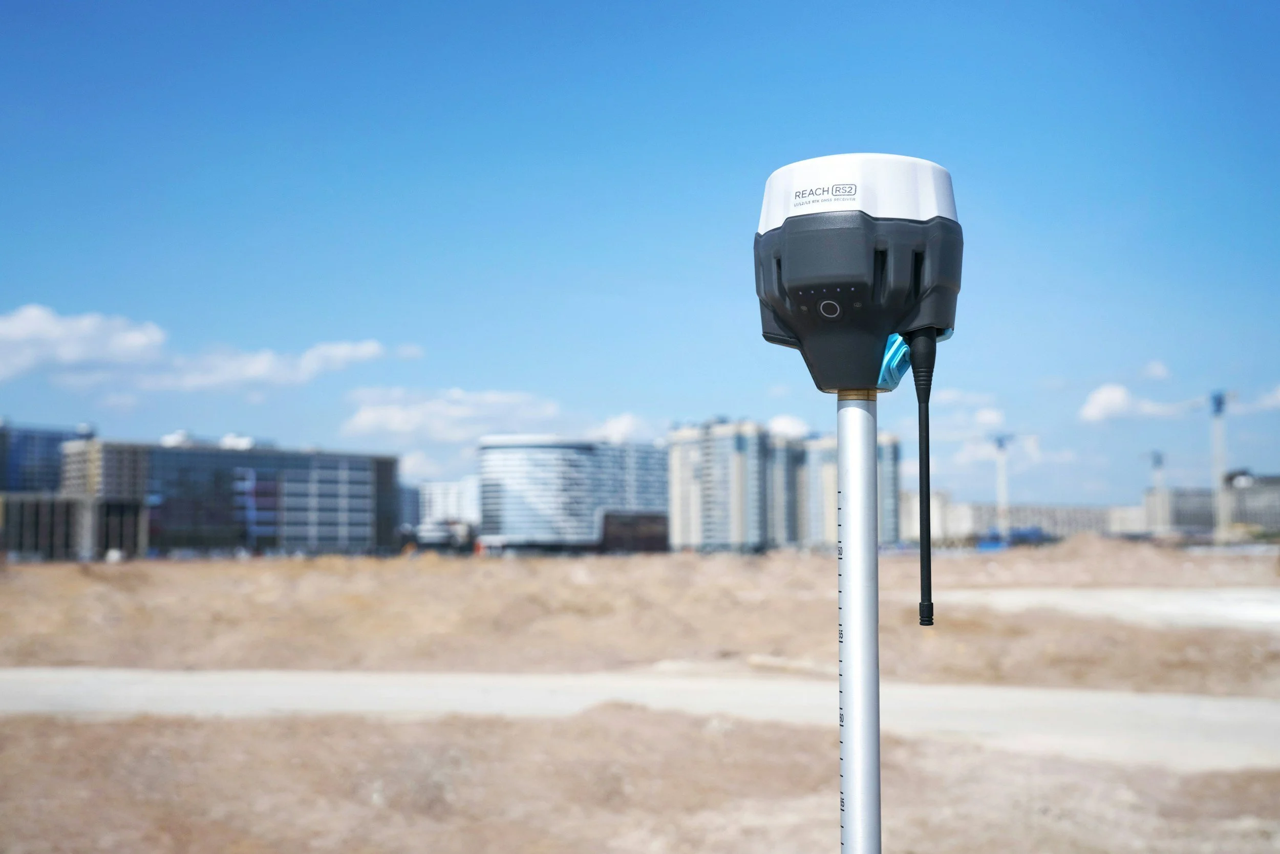
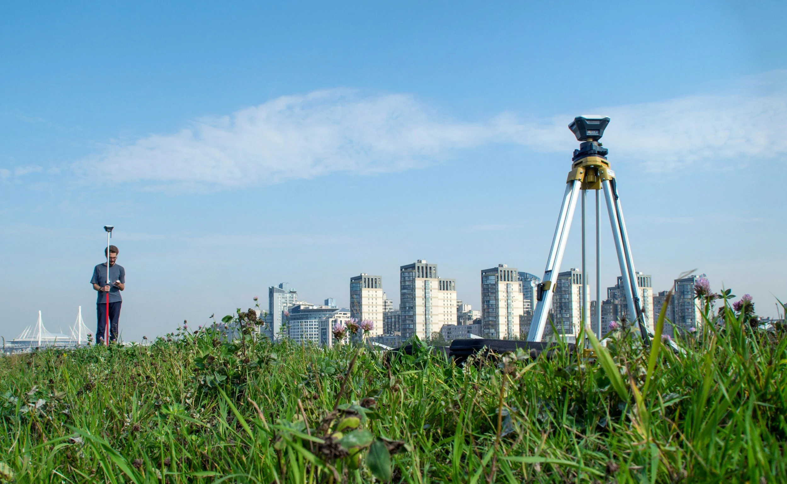
Accurate projects begin with accurate ground data. We provide high-precision Ground Control Points (GCPs), RTK GNSS positioning, and OPUS-verified control points to improve the accuracy of drone mapping, LiDAR, and photogrammetry assets. Using professional-grade Emlid equipment, we establish dependable reference points for consistent, repeatable results. We also capture high-resolution DSLR photography and immersive 360° imagery for comprehensive site documentation. From planning through project completion, our ground data services ensure your deliverables are built on a reliable foundation.
Ground Data Services
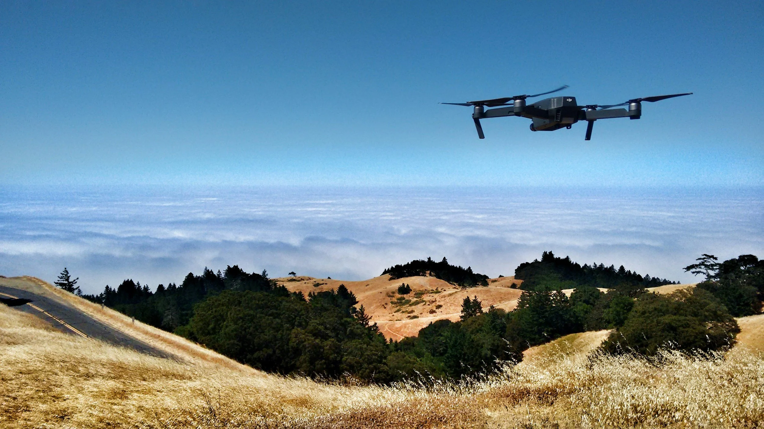
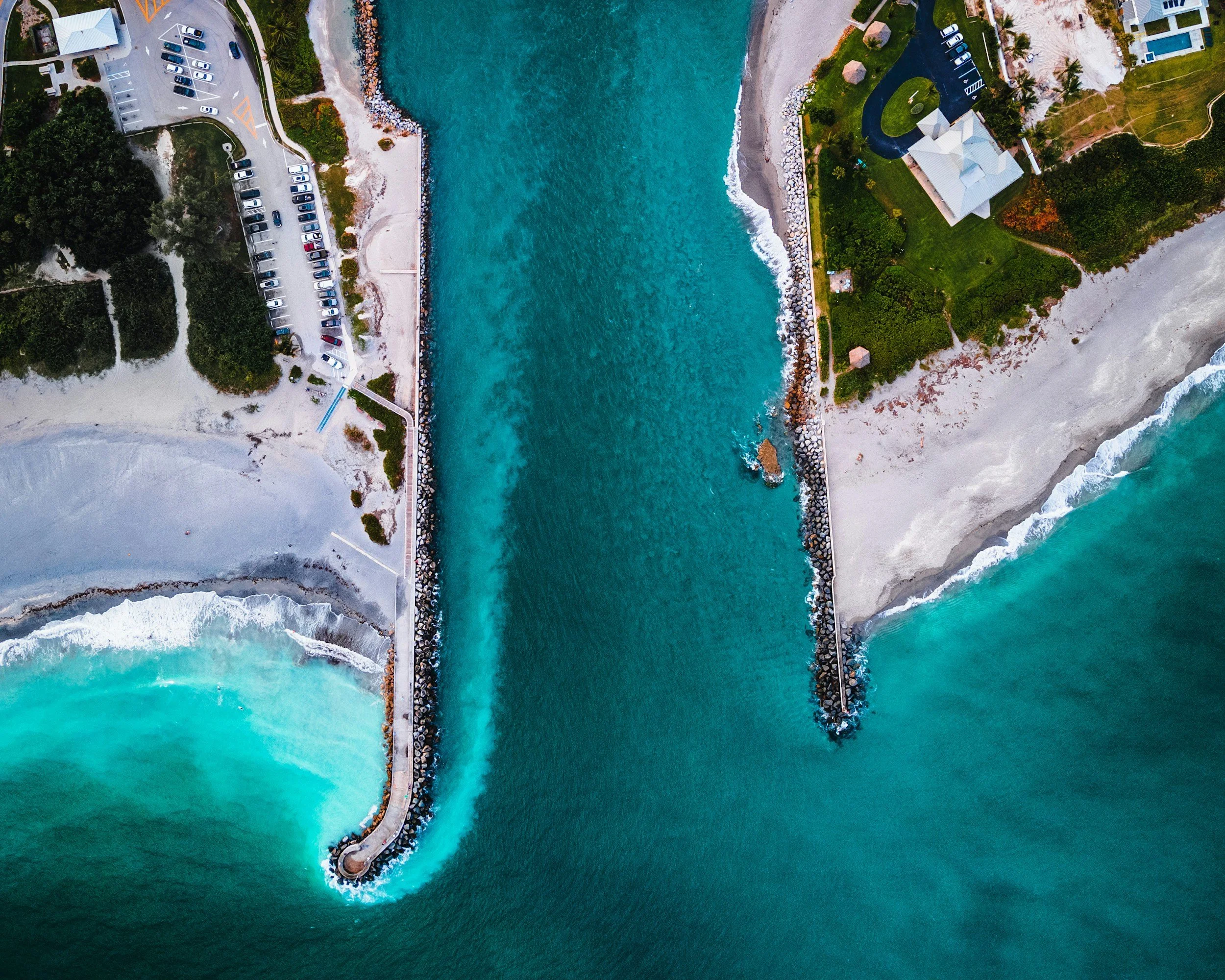
Capture your project from above with high resolution RGB, thermal, and LiDAR aerial data collection. Whether documenting construction progress, creating accurate maps, inspecting infrastructure, or generating detailed 3D models, we deliver reliable data tailored to your needs. When paired with our RTK and Ground Control Point services, our aerial deliverables can achieve centimeter-level accuracy for mapping and surveying support. Every mission is planned and executed to provide precise, actionable results you can trust.
Aerial Data Services

Need something else like equipment rental, other data services, or any other needs? Feel free to reach out to us!
Other Services
We are Licensed Part 107 Drone Operators based out of Kissimmee, Florida. Whatever data you are looking for, we are here to help!
Who We Are
By working with us, you receive exceptional accuracy, quality, and efficiency without compromising customer service or safety. Every project is completed with precision, professionalism, and your satisfaction as our top priority.